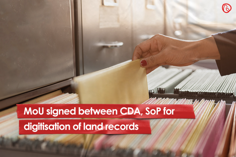
ISLAMABAD: In a nod to the growing urgency of incorporating technology at the maximum level possible, the Capital Development Authority (CDA) signed a Memorandum of Understanding (MoU) with the Survey of Pakistan (SoP) to digitise land records.
The digitisation of the federal capital’s lands will provide the CDA with complete information about the size and nature of any land, the approved nature of its use and its legal ownership.
Moreover, it is expected to help the civic authority in determining the rightful party in land disputes and related issues such as changing of land revenue record, submission of counterfeited or forged documents, and frauds cases.
The data collected will also facilitate the planning and development of Islamabad in various mega projects.
As per the agreement, SoP will also conduct a complete survey of the area within the remits of Islamabad Capital Territory (ICT) and prepare a cadastral map for CDA.
According to Intergovernmental Committee on Surveying and Mapping, a cadastral map is produced by joining together individual cadastral plans, which in turn are formulated by a licensed surveyor who accurately measures and records the boundaries of each property.
The civic authority will use this map to develop the area falling within the limits of the city and as per its mandate of planning and developing Islamabad.
What does the MoU entail?
The salient feature of the MoU suggest that all survey and mapping jobs of the CDA, consisting of, but not limited to, demarcation and digitisation of CDA’s land, cadastral mapping of Islamabad, demarcation of intersecting points (IPs) of sectors on the ground, and topographic survey before development of any sector and scheme, L-sections and cross-sections of roads, demarcation of boundary, calculation of built-up area in acquired sectors for awarding compensation to locals by CDA, provision, repair and maintenance of survey equipment, will all be referred and assigned to SoP.
On CDA’s end, the experts and surveyors of SoP will be provided all required and necessary support – including logistic support as well as its offices during field surveys – for the completion of the survey.
Meanwhile, SoP will arrange training of CDA staff on survey instruments such as total station, Global Positioning System (GPS) and Geographical Information System (GIS) at Survey Training Institute (STI) in Islamabad – albeit for a fee.
The MoU has a current lifespan of three years, which can be further extended with mutual agreement between both parties.
For more news and blogs, visit Graana.com.
Peshawar: The Khyber Pakhtunkhwa government is exploring plans to construct a 31-kilometre outer ring road…
Islamabad: The National Highway Authority (NHA) has spent more than half of its development budget…
Karachi: A high-level meeting chaired by Sindh Minister for Local Government Syed Nasir Hussain Shah…
Riyadh: Saudi Real Estate Co. (Al Akaria) has signed a long-term lease agreement with Amsa…
Rawalpindi: The divisional administration has begun acquiring land for the Rs5 billion Thalian Interchange, a…
Islamabad: The Federal Board of Revenue (FBR) is preparing to seek approval from the International…
Welcome to Graana Blog - Pakistan’s Smartest Property Portal!
For more than a decade our intention has been to revolutionise the real estate industry in Pakistan. The same belief drove the vision of our real estate team, Graana where quality beats quantity.
We have introduced an extremely transparent and purposeful portal where we will help you buy, rent or sell your property. A place where you can sit back relax and let us market your projects and listings. We believe we have set new standards for the future of real estate in Pakistan by providing the smartest property portal.
