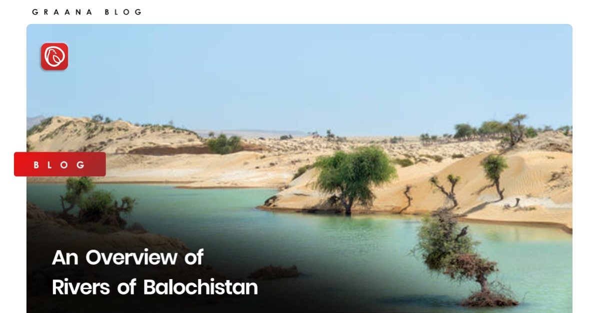
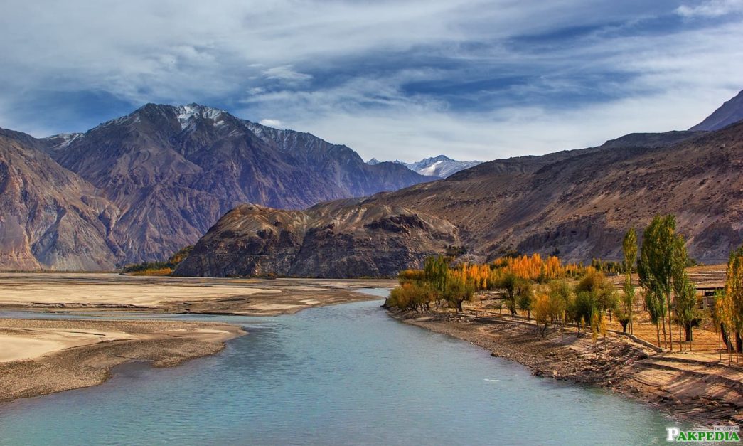
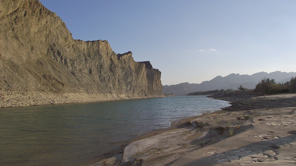
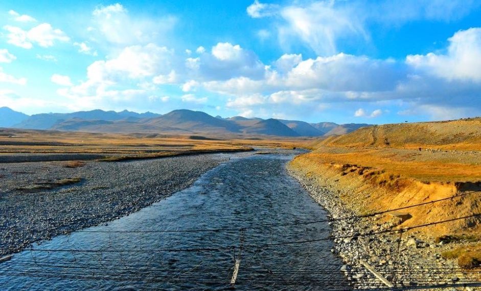
Pakistan’s largest province, Balochistan, is situated on the southwestern side of the country. The province’s landscape is arid and semi-arid, with numerous mountain ranges and sizable desert regions. Balochistan does not have many rivers because of its geography, though a few rivers of Balochistan do irrigate some regions of the province.
Graana.com brings the following list of some of the important rivers of Balochistan.
List of Rivers of Balochistan
Here is a list of rivers in Balochistan.
Zhob River
One of the most important rivers in Pakistan is the Zhob River. It starts in the Suleiman Mountains in Afghanistan and flows through the Balochistan districts of Zhob and Sherani before joining the Gomal River in Khyber Pakhtunkhwa.
The river has a catchment area of over 15,300 square kilometers and is about 410 kilometers long. The river’s water flow varies greatly, with little to no flow during the dry season and most of the flow happening during the monsoon season (July to September and October to June).
The importance of water cannot be neglected. The local population relies on the river as a significant water source, and the river also supports local agricultural and cattle raising. Moreover, various flora and animals, including numerous indigenous species, may be found in the Zhob River watershed.
Unfortunately, the river is dealing with several issues, such as lack of water, pollution, and habitat degradation brought on by human activity. The river must be properly managed and conserved to preserve its sustainability and safeguard the natural ecosystems that depend on it.
Hingol River
One of Pakistan’s longest rivers, the Hingol River, is renowned for its scenic beauty and ecological importance. The river rises in the Makran mountain range and flows through Pakistan’s largest national park, Hingol, which is also home to several endangered species.
At a length of almost 350-kms, the Hingol River eventually empties into the Arabian Sea. The river flows primarily during the monsoon season (July to September), with very little flow during the dry season (October to June).
The water from the river supports local agriculture and animal rearing and serves as a significant source of drinking water for the community.
The Hingol River watershed has various rare and endangered plants and animals, including the Balochistan bear, Sindh ibex, and houbara bustard. Several migrating bird species that stop in the area during winter depend on the river as a critical habitat.
Despite its importance for the region’s ecology, the Hingol River suffers several environmental problems, such as habitat loss, excessive grazing, pollution from industrial and agricultural runoff, and other issues.
The creation of the Hingol National Park and the adoption of sustainable agricultural methods in the area are two examples of the conservation initiatives being carried out to safeguard the river and its ecosystems.
Nari River
In Balochistan, the Nari River traverses the districts of Khuzdar and Lasbela. The river runs into the Arabian Sea after emerging from the Sulaiman Mountains. The river has a catchment area of around 7,500 square kilometers and is about 200 km long.
The Nari River’s flow is highly seasonal, with the monsoon season (July to September) seeing most of the flow and the dry season seeing very little (October to June). The region’s agriculture and cattle raising are supported by the river’s water, which also serves as a significant source of irrigation.
Many indigenous species of flora, animals, and a wide variety of other species can be found in the Nari River basin. However, the river and its ecosystems confront several environmental problems, such as a lack of clean water, pollution, and habitat loss due to human activities like overgrazing and deforestation.
The Nari River and its ecosystems are being preserved through sustainable farming techniques, reforestation initiatives, and the creation of protected areas.
In addition, the Pakistani government has suggested building several dams in the Nari River basin to increase water availability for irrigation and agriculture. The possible environmental effects of such dams are still up for debate.
Porali River
In Balochistan, the Porali River flows through the Khuzdar and Lasbela districts. The river joins the Hingol River after rising in the Takatu Mountains. The river has a catchment area of around 2,100 square kilometres and is about 150 km long.
The Porali River flows during the monsoon season (July to September) and very little during the dry season (October to June). The region’s agriculture and cattle raising are supported by the river’s water, which also serves as a significant source of irrigation.
Various vegetation and wildlife, including indigenous species, may be found in the Porali River basin. Nonetheless, the Porali River has many of the same environmental issues as other rivers in Balochistan, such as water scarcity, pollution, and habitat loss brought on by human activities like overgrazing and deforestation.
Kud River
The Kud River traverses the Kech and Panjgur districts in Balochistan. The river initiates in the Makran Mountains and joins the Moola River before emptying into the Arabian Sea. The river has a catchment area of around 2,000 square kilometers and is about 120 km long.
The Kud River flows during the monsoon season (July to September) and very little during the dry season (October to June). The region’s agriculture and cattle raising are supported by the river’s water, which also serves as a significant source of irrigation.
The Kud River is dealing with several water crisis, including water scarcity, pollution, and habitat loss due to human activities like overgrazing and deforestation.
Dasht River
The Dasht River is a seasonal river located in the district of Kech in Balochistan, Pakistan. The river originates from the Hala Range and flows into the Arabian Sea. The river is approximately 60 km long, with a catchment area of about 1,000 square kilometers.
The Dasht River is very seasonal, with flow occurring from July to September during the monsoon season and little to no flow from October to June during the dry season (October to June). The region’s agriculture and cattle raising are supported by the river’s water, which also serves as a significant source of irrigation in Pakistan.
Rivers in Balochistan generally serve as a significant irrigation and agricultural water source and provide water to the local population. The management and conservation of these rivers are essential for the province’s sustainable growth, nonetheless, due to the arid climate and scarce water supplies.
For more informational content, visit the Graana blog.