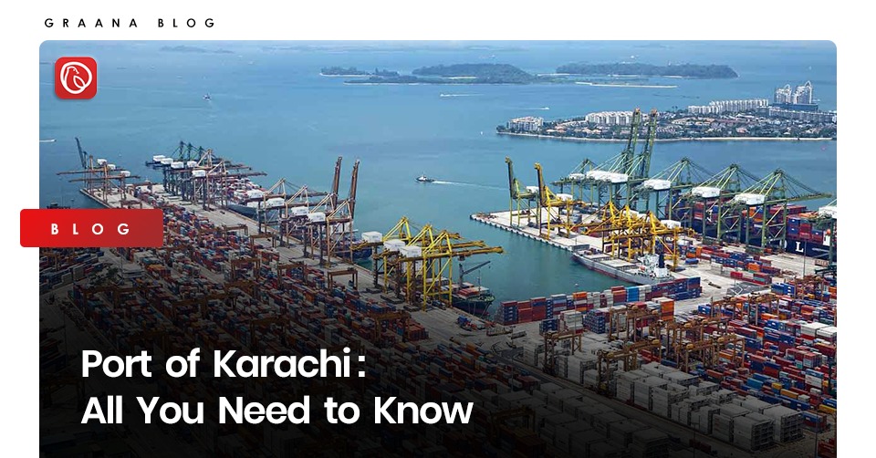
Karachi Port is one of the largest and busiest ports of Pakistan, which handles about sixty per cent of the total cargo in the business hub of the city. It is close to various industrial areas and Serai Quarter.
Due to its prominent geographic location, the port is close to important shipping lanes like the Strait of Hormuz. It is managed by the KPT, which was established in 1857.
In this blog, Graana.com explains the history, facilities and significance of the Port of Karachi.
History of Karachi Port
The history of the port is entwined with that of the city. Sulaiman al-Mahri, a 16th-century Arab navigator, mentioned Ras Karashi and Ras al-Karazi while describing the journey along the coast from the fishing port Pasni to Ras Karashi, which provides evidence of the existence of Karachi port at that time.
In the 16th century, the Ottoman captain Ali Reis also made a reference to Karachi in his thesis “Mirat-ul-Memalik”. He warned mariners about whirlpools and advised them to seek shelter in the “Kaurashi” harbour.
Due to the overflowing port at Kharak, caused by the torrential rains in 1728, traders were forced to relocate to what is now part of Karachi.
On the northern side of Karachi Bay, they built a brand-new settlement known as Kolachi in 1729. Mithadar was the name of the entrance leading to the Lyari River, while Khardar was the name of the entrance leading to the sea.
Kolachi underwent numerous changes under the rule of Sindh kings and Talpur Mirs between 1729 and 1783. After two protracted sieges in 1783, the region was captured by the Talpur dynasty. They built the Debal Fort, which was fortified with armaments, on Manoro island near the harbour’s entrance.
A number of British businesses set up offices and warehouses in Karachi, which increased the city’s population. By 1952, 14,000 people were living there and Karachi had become a developed, established metropolis.
The Establishment of a Modern Port
When the primary navigation channel was dredged and a causeway or mole was created to connect the city to the harbour in 1854, the port began to take shape. Following its construction, Keamari Groyne, Jetty Bridge, Napier Mole Bridge, and Manora Breakwater were built.
Between 1856 and 1872, trade increased significantly, especially after the Suez Canal opened in 1869 and cotton crops from Sindh began to replace American cotton as the primary raw material in British textile companies. By 1899, Karachi had grown to be South Asia’s principal port for the export of wheat and cotton.
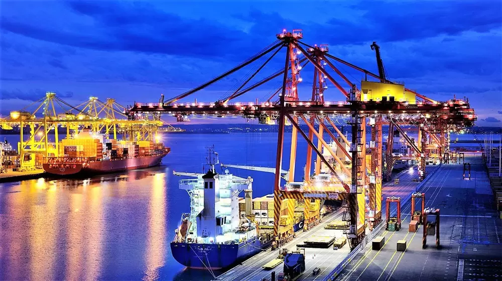
Facilities at Karachi Port
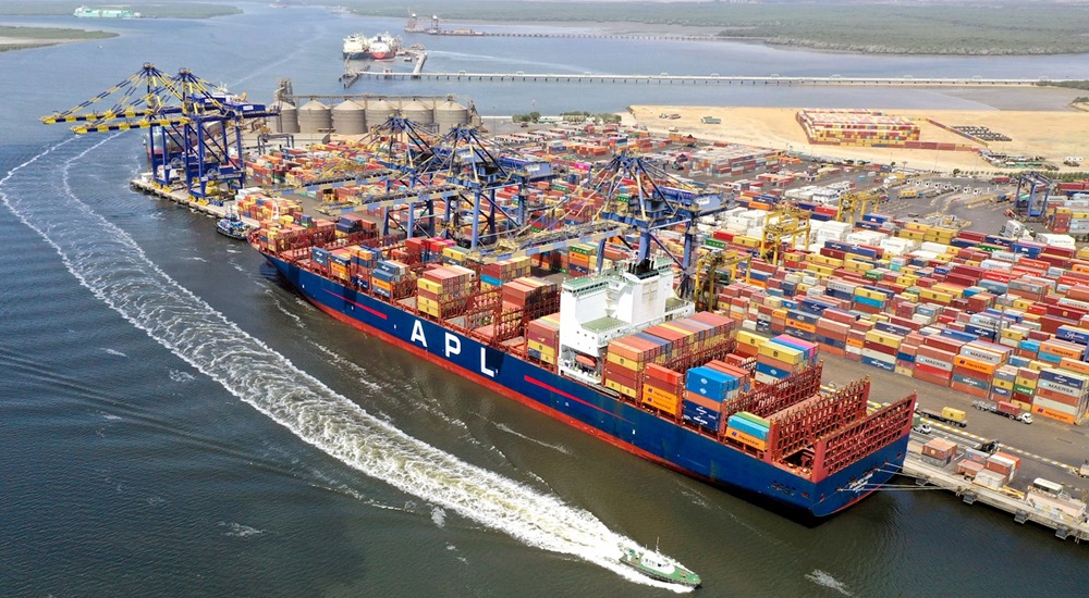
The port is made out of a deep natural harbour with an 11-kilometre long channel that provides safe navigation for ships with a deadweight tonnage of more than 75. The two wharves – West Wharf, which has 13 vessel berths, and East Wharf, which has 17 vessel berths – are the hubs of port activity.
The container terminal is present at both of these wharves:
- At berths 28 to 30 of West-Wharf, Karachi International Container Terminal first opened in 1996. 30,000 twenty-foot equivalent units (TEUs) can be handled annually by Karachi International Container Terminal (KICT), which also controls container ships with a draught of more than 11 metres. The wharf has a total length of 600 metres, and is divided into 2 berths. In the terminal, there are 3 post-Panamax cranes and 1 Panamax crane.
- Pakistan International Bulk Terminal was established at East-Wharf berths 6 through 9 in 2002. The terminal can handle 350,000 TEUs annually, along with container ships up to 11.5-metre draught. The quay is divided into two berths and has a total length of 600 metres. Two Panamax cranes are at the terminal.
- The privately managed Al-Hamd International Container Terminal, which opened its doors west of the Lyari River in 2001, is a rival to Pakistan International Container Terminal (PICT) and KICT.
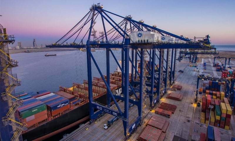
There are also 3 oil piers, a shipyard, 2 ship mending jetties, an engineering facility, 3 production lines and a spacious shipbuilding hall.
Strategies to Expand Karachi Port
Overpopulation and the presence of numerous other marine facilities close to the port impede freight flow to and from the port.
To expand facilities, the Trust of Karachi Port has planned port deepening. The waterway was initially dredged to a depth of 13.5 metres to accommodate vessels with a twelve-metre draught. Other initiatives for port expansion include:
- East-new Wharf’s container port
- Modern amenities at PICT
- Increase in KICT’s handling capacity from 3 million to 4 million TEUs annually
- New desalination plant to address the city’s water deficit challenges
- Construction of two new berths with a depth of 14 metres and a stacking area of 100,000 square metres at KICT
- Reconstruction of a historic oil pier allowing 90 000 DWT ships to berth
- A 150 m high port tower with a spinning restaurant for leisure and commercial purposes
- Creation of Port Town with 13,000 homes on a 500-acre site in Hawkes Bay for port workers
Competitors
Karachi Port has competition from a recently-built private terminal, which is located 5 kilometres to the west. The Pakistani government has built a second port in Karachi, 30 km to the east at the Qasim Port Authority, and a third large port in Gwadar, roughly 650 km west of the metropolis of Karachi, in an effort to ease congestion.
Threat to Natural Forests
The mangrove woodlands along the harbour are always in danger due to human activity. Nearly 6 square kilometres in size, China Creek sits east of the port and is dotted with mangrove islands. A larger mangrove forest made up of numerous islands may be found at southwest of the port.
For more informative blogs, visit the Graana blog.